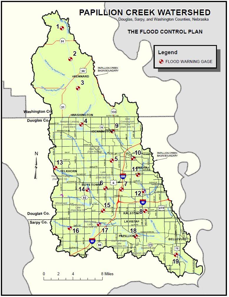
In 1993, the Papio-Missouri River Natural Resource District, in Conjunction with the US Army Corps of Engineers (USACE), installed a flood warning system for the Papillion Creek Watershed. The system was upgraded in 2012, and consists of 22 gage stations. Five stations report rain data and the remaining 17 stations report rain and stream stage data. This data is reported real time and is available to the public through the National Weather Service (NWS) and U.S. Geological Survey (USGS) web sites. An agreement is in place with Douglas County, Sarpy County, Washington County and the City of Omaha to share the cost of the system.
The quality data provided by USGS is valuable to NWS to improve forecasting and issuance of flood warnings in the Papio watershed and to the District for operation and monitoring of the Papio flood control systems. Each year the USGS works to record high flows and provide the District and its partners improved data for rating curves (flow vs. stage) at each site.