Public Encouraged to Start Conserving Water

Below Normal Precipitation and Warmer than Normal Temperatures Will Impact the Platte River

 An Eastern Nebraska group, the Lower Platte River Consortium, is encouraging the public to start now in proactively conserving water. Projections show that warmer temperatures and below normal precipitation are expected to continue through at least May and June.

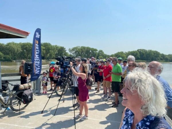
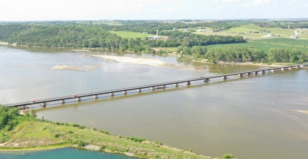
We all rely on Platte River flows. The Platte River is the lifeline for the state of Nebraska. A majority of the population relies on groundwater from wells, which are replenished by the Lower Platte River, including the communities of Omaha, Lincoln, and Fremont. The Platte River also provides habitat for fish and wildlife, recreation, and recharges wells for irrigation in the Platte River valley.

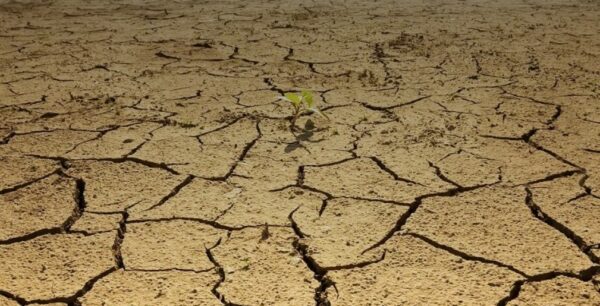
Weather has a big impact on Platte River flows. Contributing factors include runoff from rainfall within the basin and snowpack in the Rocky Mountains near Denver, Colo., and Laramie and Casper, Wyo. Nebraska has experienced an unusually dry fall and very mild winter, with little snow and rainfall. Current conditions in the state are dry, including lower levels of moisture in the soil.

River flows can decrease to the point where the river will not adequately replenish the wells. Flows in the Platte River are currently adequate to recharge our wells; what those flows will be like later if dry conditions continue is unknown.

Current long-range predictions through May and June indicate above normal temperatures, and below normal precipitation for the state. Dry and warm conditions will have an impact on the amount of water in the Platte River that is available for its various needs and uses.

Given the current dryness, the group asks for the public’s assistance now, knowing it is dry, to use only what you need. If dry conditions persist, the group will communicate this and ask additional assistance from the public to conserve water.

“The consortium will continue to work together to monitor and share information with the public as we progress into these spring and summer months,” states Paul Zillig, General Manager of the Lower Platte South NRD. “Our group recognizes the need to be more proactive and communicate with the public so we can all work together to ensure conservation. We need to start now conserving water, knowing that current long-term forecasts are telling us it’s going to get warmer, and we won’t have much rain.”

The Nebraska Department of Natural Resources has launched an online dashboard available to the public that displays real-time information that the department monitors and collects throughout the state. The dashboard includes current up-to-date drought conditions, common drought indicators, and the streamflow projection for Platte River at Ashland. The data reflects the conditions throughout the Lower Platte basin and the entire state. The dashboard also provides important links to other local and national climate-related resources. The department will continue to closely monitor streamflow conditions throughout the summer.

To view the dashboard, visit the Department of Natural Resources’ site: (dnr.nebraska.gov/water-planning/lower-platte-river-basin).

The Lower Platte River Consortium will continue to monitor the conditions and its entities will work with individuals and communities to conserve water as necessary.

About the Consortium

Formed in 2016, the consortium consists of six different entities (agencies) that monitor and rely on the Lower Platte River for their water supply. These agencies include:

  • Lower Platte South NRD
  • City of Lincoln Water System
  • Lower Platte North NRD
  • Nebraska Department of Natural Resources
  • Papio-Missouri River NRD
  • Metropolitan Utilities District


Grand Re-Opening of Lied Bridge & MoPac Trail

Repairs to damage caused by historic flood of 2019 complete

Recreation enthusiasts showed up in droves along the Platte River Saturday, July 3, to celebrate the official grand re-opening of the Lied Platte River Bridge and MoPac Trail, which were damaged by the flood of 2019. The Lied Platte River Bridge is the only crossing along the Platte River that connects Lincoln and Omaha by the MoPac Trail.


“It’s incredible to bring together people riding bicycles, other trail users, community leaders and groups, as well as partner agencies who helped us complete extensive repairs to the Lied Bridge following the flood of 2019,” said John Winkler, general manager of the Papio NRD. “Flood damage devasted this popular pedestrian crossing and lack of access to it was certainly felt. We’re thrilled to see it back in action so quickly,” said Winkler.

For the past two years, the Papio NRD has worked closely with the Nebraska Game and Parks Commission and Lower Platte South NRD on four flood-related repair projects on the Lied Bridge and MoPac Trail.


Eric Williams, natural resources planner for the Papio NRD said the projects totaled over $525,000, a majority of which will be reimbursed by FEMA as part of disaster recovery assistance.

The projects included: removal of large debris from the bridge, removal and replacement of damaged parts of the fence and railing, repair and replacement of the ice breaker structures under the bridge, and reconstruction of the trail connecting link from Highway 31 to the east end of the bridge.

“It’s been a two-year project collaborating with the Papio-Missouri River NRD and the Lower Platte South NRD and we are super excited to be reopening the Lied Bridge and MoPac Trail after the devastating flood of 2019,” said Adam Johns, park superintendent III at Nebraska Game and Parks Commission. “It’s great that visitors can once again enjoy the wonderful views of the Platte River that this bridge and trail have to offer,” said Johns.

“Sometimes we don’t know what we have ‘til it’s gone,” said Lower Platte South NRD Board Chair Deborah Eagan. “Losing access to the Lied Bridge brought tremendous interest from trail users who were anxious to see it repaired and reopened. Fortunately, the damage was able to be fixed in an effective and efficient manner.  We are excited to have this important local and national link to our trail systems restored.  Thanks to all who coordinated, cooperated and communicated to see this project finalized,” said Eagan.

(left to right) Eric Williams, Papio NRD Natural Resources Planner; Bill Oligmueller, Nebraska Game and Parks Commission Regional Superintendent; Senator Rob Clements; Ron Nolte, Lower Platte South NRD Board of Directors; Jim Peterson, Cass County Commissioner; Janet McCartney, Cass County Commissioner; Deborah Eagan, Lower Platte South NRD Board Chair; Julie Harris, Bike Walk Nebraska Executive Director


The Lied Platte River Bridge, a former railroad bridge, was converted to bicycle and pedestrian access in 2001. The bridge and connecting trails are critical components of the Great American Rail-Trail through Nebraska. The Great American Rail-Trail is a project of Rails-to-Trails Conservancy to create the nation’s first cross-country, multi-use trail, spanning from Washington, DC to Washington state.

“We cannot overstate the importance of having the Lied Bridge back open for bicycling,” said Julie Harris, executive director of Bike Walk Nebraska. “Not only is it a key connection for people riding locally between Omaha and Lincoln, the bridge also provides a regional connection to 120 miles of trail on the west and over 100 miles on the east, creating enormous potential for bicycle tourism in eastern Nebraska,” said Harris.


Top