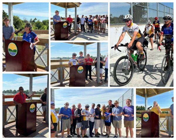
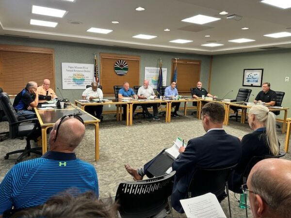
Water Level Decreases for Closure of Elkhorn River Access Sites

The Papio NRD Board of Directors voted to decrease the water level that determines the temporary closure of the Elkhorn River Access Sites for safety purposes at its meeting on Thursday, July 11.

Until the vote, the Papio NRD would close the access sites when the water gage at Waterloo read a stage height of five feet or greater. The access sites will now close when the water gage reads a stage height of four feet or greater.

“The Elkhorn River has degraded at least two feet over the past five years, likely due to the large flood events that have occurred,” said Papio NRD General Manager John Winkler. “This has resulted in higher water levels, increased water flows, and no visible sandbars. This makes recreation more dangerous,” said Winkler.

Winkler says recreation is more conducive at the new stage height as sandbars are either visible or just below the surface. As is always the case, Winkler says before sites can reopen, river access ramps may need to be cleaned of silt, debris and safety inspected.

The Elkhorn River Access Sites include:

  • Elkhorn Crossing (intersection of 252nd & Bennington Road)
  • West Maple Road (West Maple Road northeast of Waterloo)
  • Graske Crossing (southeast corner of West Dodge Road & west of 204th St.)

 River-goers can find out whether the access sites are open or closed here:

The access sites are open from 6:00 a.m. to 10:00 p.m. through November 1.


What’s a Spillway…and Why Should You Care?

They may just look like big pipes, but they have a very important job – to help protect you from flooding. What you see in the time-lapse video is the installation of the principal spillway pipe, a major structural part of the Papio NRD’s new flood mitigation reservoir in Gretna, NE, slated to be completed in May of 2025.

So, what’s a spillway? In simple terms, a spillway serves as an outlet to ensure the safe passage of excess water if the water level of the reservoir goes above its regular permanent elevation.

Why should you care about this? While a flood mitigation reservoir’s primary job is to help protect you and your property from flooding events, it also creates recreational opportunities for the community. Once the project (located southwest of 168th Street and Giles Road) is completed, citizens can enjoy recreation amenities, such as fisheries, trails, kayak launches, and a picnic area – while at the same time, knowing their families are being safeguarded. A double win!

We will continue to keep you updated on the project’s progress and want to thank crews from Houston Engineering and Valley Corporation for all their hard work!


River Access Sites: Open or Closed? Check Here!

High river flows occasionally force the Papio NRD to temporarily close the river access sites for safety purposes. Park closures for Elkhorn River sites are called for when the Elkhorn River gage at Waterloo reads a stage of 4 feet or greater. Platte River Landing will close when the gage at Leshara reads 7 feet or above.

River access ramps may need to be cleaned of silt, debris and safety inspected before reopening.

Status of Elkhorn & Platte River Access Sites:

(A) Elkhorn Crossing (intersection of 252nd & Bennington Road) – OPEN: Boat ramp for river access for tubing, etc. CLOSED: Camping and RV sites for installation of upgrades.

(B) West Maple Road (West Maple Road northeast of Waterloo) – OPEN

(C) Platte River Landing (near Highway 64) – OPEN

(D) Graske Crossing (southeast corner of West Dodge Road & west of 204th) – OPEN


Interactive Map of Chalco Hills Now Available

Coming to Chalco Hills Recreation Area? Our new interactive park map not only enables you to explore and navigate all the amenities on your mobile phone, but also includes the ability to locate yourself in the park and see mile markers along the trails – two important safety features.

If you prefer to physically hold a map, we’ve got you covered with this print map you can download or pick up at several locations around the park, including the park’s main entrance.

Park amenities/features the maps help you easily locate include:

  • Trails (paved and nature)
  • Trail mile markers
  • Picnic shelters
  • Accessible fishing pier and picnic area
  • Drinking water
  • Restrooms
  • Parking areas
  • Playgrounds
  • Boat ramp
  • Lake depths
  • Dog park
  • BCycle station

In addition, boaters and anglers can find lake contour maps of Wehrspann Lake and Prairie View Lake here.

We hope these maps help make your recreation experience here at Chalco Hills even more enjoyable.

We look forward to seeing you!


Papio NRD River Access Sites to Open April 1

The Papio NRD will open the Elkhorn and Platte River access sites for the season on April 1st. 

The access sites include:

  • Elkhorn Crossing (intersection of 252nd & Bennington Road)
  • West Maple Road (West Maple Road northeast of Waterloo)
  • Graske Crossing (southeast corner of West Dodge Road & west of 204th St.)
  • Platte River Landing (near Highway 64)   

High river flows occasionally force the Papio NRD to temporarily close the river access sites for safety purposes. Park closures for Elkhorn River sites are called for when the Elkhorn River gauge at Waterloo reads a stage of 5 feet or greater. Platte River Landing will close when the gauge at Leshara reads 7 feet or above.

River access ramps may need to be cleaned of silt, debris and safety inspected before reopening.

Access Sites – Open or Closed? 

You can find out whether the access sites are open or closed throughout the season here:

There are no park entry fees. The access sites are open from 6:00 a.m. to 10:00 p.m. through November 1.

Enjoy!

Elkhorn River Access Sites to Close November 1

All good things must come to an end…at least temporarily. Darn you, winter!  

The Papio NRD will close all access sites to the Elkhorn River for the season on November 1st. The access sites include Elkhorn Crossing Recreation Area, Graske Crossing, and the West Maple Road access site. The access sites will reopen April 1st. See you next season.


Papio NRD River Access Sites to Open April 1

The Papio NRD will open the Elkhorn and Platte River access sites for the season on April 1st. 

The access sites include:

  • Elkhorn Crossing (intersection of 252nd & Bennington Road)
  • West Maple Road (West Maple Road northeast of Waterloo)
  • Graske Crossing (southeast corner of West Dodge Road & west of 204th St.)
  • Platte River Landing (near Highway 64)   

High river flows occasionally force the Papio NRD to temporarily close the river access sites for safety purposes. Park closures for Elkhorn River sites are called for when the Elkhorn River gauge at Waterloo reads a stage of 5 feet or greater. Platte River Landing will close when the gauge at Leshara reads 5 feet or above.

River access ramps may need to be cleaned of silt, debris and safety inspected before reopening.

Access Sites – Open or Closed? 

You can find out whether the access sites are open or closed throughout the season here:

There are no park entry fees. The access sites are open from 6:00 a.m. to 10:00 p.m. through November 1.

Enjoy!

Pedestrian Bridge and Trail Officially Open for Valley Residents

The Papio-Missouri River Natural Resources District (Papio NRD), City of Valley, DC West Community Schools, YMCA of Greater Omaha, and other community partners today celebrated the grand opening of Valley’s new pedestrian bridge and trail.

(From left to right) Papio NRD General Manager John Winkler, Past Board President of YMCA of Greater Omaha Ford Fischer, Former Congressman Lee Terry, Papio NRD Board of Directors Rich Tesar, Papio NRD Natural Resources Planner Eric Williams, Valley Mayor Cindy Grove, DC West Schools Superintendent Dr. Melissa Poloncic, President and CEO of the YMCA of Greater Omaha Rebecca Deterding

The 450-foot pedestrian bridge and trail provide a major community connection point that improves safety, recreation, and active transportation for Valley residents.

“The pedestrian bridge spans the Union Pacific Railroad tracks and East Reichmuth Road (old Hwy 275),” said Eric Williams, natural resources planner for the Papio-Missouri River Natural Resources District. “The City of Valley needed a solution to literally bridge the gaps between major parts of the community, especially a safe route that prevented kids from directly crossing the rail lines or walking on the highway overpass. The bridge and trail provide these safety measures as well as increased recreational opportunities. So, it’s a double win for Valley residents,” said Williams.

“The City of Valley is extremely excited to have the trail and bridge finally open,” said Valley Mayor Cindy Grove. “This has been a multiple year project and residents have been eagerly anticipating the opening. Being able to connect the YMCA with the school and south side of the community with a safe place for residents to walk and bike has been much needed for several years.”

Williams says the project is a great example of the power of community partnerships and one that came at no cost to Valley taxpayers. The total cost of the pedestrian bridge and trail is approximately $7 million, with a majority of the cost from federal transportation funding, and the remaining contribution from the Papio NRD.


“I am entering my ninth year as superintendent and this is a project that was in planning when I arrived,” said Dr. Melissa Poloncic, superintendent of DC West Schools. “To see this large-scale project finally come together is really a wonderful thing for our community!”

“We are so excited for the completion of the trail and the impact it will have,” said Rebecca Deterding, president and CEO of the YMCA of Greater Omaha.  “This has been highly anticipated, and we look forward to it increasing access and collaboration between the YMCA, the school and the community.”


Cost Share Programs for FY 2025

Urban Drainageway Program, Hell Creek Channel Restoration Project

The Papio NRD has nine (9) cost share programs available to assist government agencies to conserve and protect natural resources for people in our communities.

Please see the annual letter which includes a description of each program, program guidelines, and application forms.

The deadline for applications under all programs is March 22, 2024.

For more information, please call (402) 444-6222 or email ewilliams@papionrd.org.

Omaha Beltline Trail Construction Expected to Begin in 2022

The Papio NRD is partnering with the City of Omaha to develop the Beltline Trail to provide recreation, active transportation, and access to natural resources to people within the District. The trail creates a connection from the intersection of Hamilton St. at Military Ave., to the North Omaha Transit Center.

The proposed trail alignment follows the former Missouri Pacific Railroad corridor and will be constructed in multiple phases. Phase 1 of the project was bid in the fall of 2021 and construction of this phase is expected to begin in 2022. The remaining phases of the project are outlined in the master plan.


Top